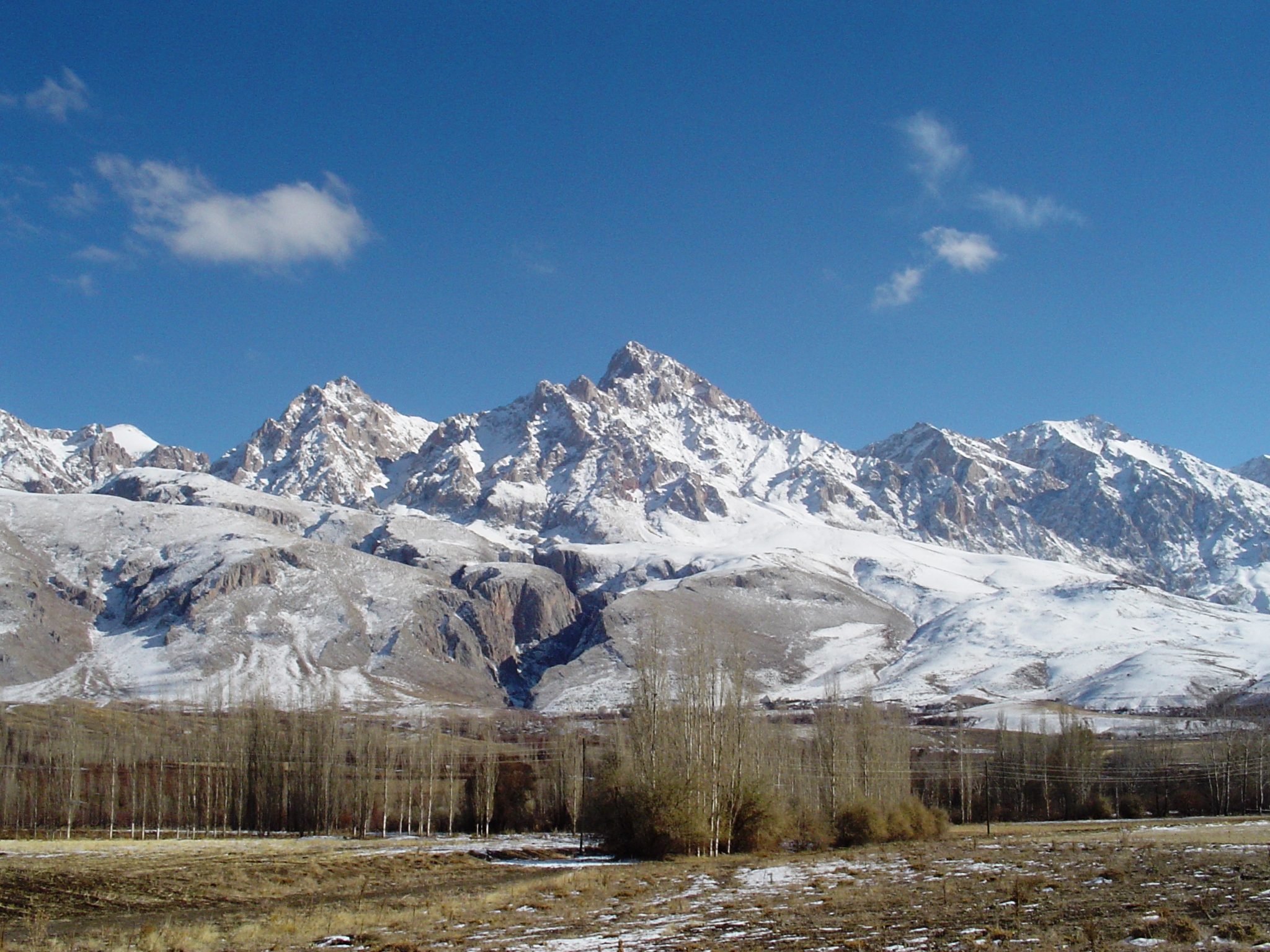
The Taurus Mountains
The Taurus Mountains are a mountain complex in southern Turkey, separating the coastal Mediterranean region from the Central Anatolian Plateau. The system extends along a curve from Lake Egirdir in the west to the upper reaches of the Tigris and Euphrates rivers in the east. It is part of the Alpide belt in Eurasia.
The Taurus Mountains are a mountain range located in the southeast of the eastern Anatolia region of Turkey, from which the Euphrates River descends into Syria. Its highest peak is Mount Gilo (4168 m), followed to the west by the mountains of Bitlis, Malatya and Takhte Li. The Taurus Mountains continue to the west, approaching the Mediterranean Sea, drawing a concave arc towards the north, embracing the basins of Konya and Lake Egirdir, ending in the west with the Elma Li heights (3086 m), west of the Gulf of Antalya. The Taurus Mountains form the boundary between the Levant and Anatolia.
The Taurus Mountains are considered the motherland of cedar trees, which began to decline after random cutting and removal in the past years, to the extent that some lands became unsuitable for cedar cultivation. 300 million cedar seeds were planted at an altitude of 1,900 m above sea level in a period of 8 months. The weight of the seeds used reached 270 tons.


